
Winds form when air moves from high-pressure areas to low-pressure areas because of uneven heating.
I’ve studied weather patterns and worked with field instruments, so I know how subtle forces shape big movements in the sky. This article explains how are winds generated in the atmosphere with clear science, real examples, and practical tips you can use to spot and predict wind around you. Read on for step-by-step explanations, simple analogies, and answers to common questions.
The basic physics: why air moves
Air moves because of differences in pressure and temperature. Warm air is lighter. Cold air is heavier. When the sun heats part of the Earth, that air rises. Nearby cooler air moves in to replace it. That moving air is wind.
Important forces that shape wind include:
- Pressure gradient force, which pushes air from high to low pressure.
- Coriolis effect, which bends moving air because Earth spins.
- Friction near the surface, which slows and alters wind direction.
So, when you ask how are winds generated in the atmosphere, start with heating and pressure differences. Those two make air flow, and then the Coriolis effect and surface friction shape the pattern.

Global drivers: cells, rotation, and pressure belts
Large-scale wind patterns come from heat differences between the equator and poles. The atmosphere tries to balance those differences by moving air. This creates three main circulation cells per hemisphere: Hadley, Ferrel, and Polar. These cells set major wind belts like the trade winds and westerlies.
The Coriolis effect turns moving air to the right in the Northern Hemisphere and to the left in the Southern Hemisphere. That’s why winds don’t flow straight from high to low pressure. Pressure systems form belts at certain latitudes because of rising and sinking air. When you study how are winds generated in the atmosphere, you must include these global cells and the Coriolis force.
Examples:
- Equatorial heating makes rising air and calm zones called the doldrums.
- Subtropical sinking air creates dry deserts and steady trade winds.
- Mid-latitude storms ride the westerlies and drive weather fronts.

Local winds: sea breezes, mountains, and urban effects
Local heating and terrain make smaller but important winds. These are easy to see and feel.
Common local winds:
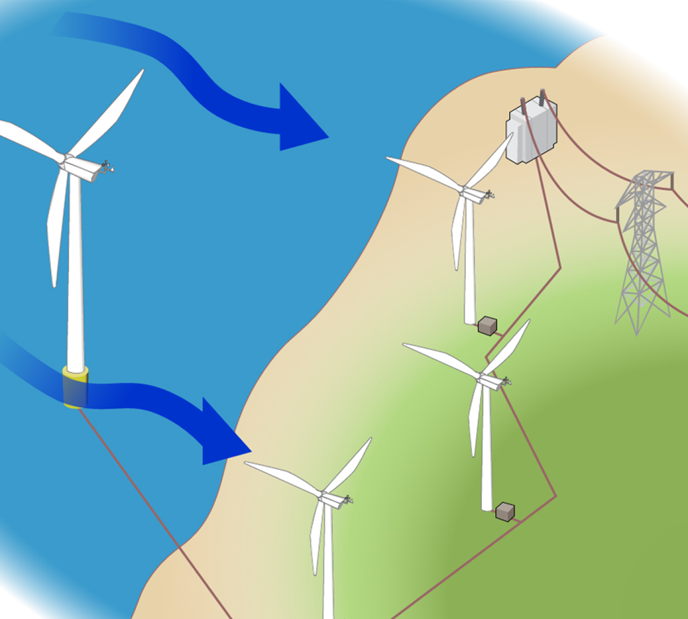
- Sea breeze: Land heats faster than water during the day, so air rises over land and cool air from the sea moves inland.
- Land breeze: At night, land cools faster; air flows from land to sea.
- Mountain-valley winds: Slopes heat and cool quickly, causing upslope breezes by day and downslope flows at night.
- Urban wind changes: Buildings create channels and turbulence and change wind speed and direction.
If you want to understand how are winds generated in the atmosphere at your home, watch how temperature changes between sun and shade influence local airflow. I once timed a sea breeze for a coastal project; the wind shift was predictable every afternoon within an hour of peak solar heating.

How pressure systems and fronts create wind
Fronts are the boundary between air masses. Fast changes in temperature and pressure near fronts create strong winds. Low-pressure centers pull air in and cause convergence and uplift. High-pressure centers push air outward and create calmer, diverging flow.
Key points:
- Pressure gradient strength controls wind speed. Tight gradients mean stronger winds.
- Cyclones (low pressure) spin inward. Anticyclones (high pressure) spin outward.
- Vertical motions from fronts can change wind direction up and down the column of air.
These concepts are essential to fully answer how are winds generated in the atmosphere, since weather systems rearrange air masses on regional scales.

Measuring and forecasting wind
Meteorologists measure wind with tools like anemometers, wind vanes, and doppler radar. Forecast models use physics equations to predict how air moves, from small puffs to large storms. Observations and models together tell us when and where wind will pick up.
Practical tips:
- Use a cup anemometer or smartphone apps for rough speed estimates.
- Watch cloud movement and flags to gauge direction and gusts.
- Pay attention to pressure changes: a falling barometer often means windier weather.
PAA-style quick questions (short answers):
How fast can wind form?
Wind can increase from calm to strong in minutes when pressure gradients tighten, such as near storms or fronts.
What triggers sudden gusts?
Gusts come from turbulence, microbursts, or changes in surface heating and passing fronts.
Can we predict local winds accurately?
Short-term local winds are reasonably predictable with local observations, but small-scale turbulence remains hard to forecast precisely.
Real-world applications and why it matters
Understanding how are winds generated in the atmosphere matters for safety and planning. Farmers, pilots, sailors, and builders all use wind knowledge. Wind power relies on steady, strong winds. Emergency managers track winds to predict smoke and fire spread.
My experience working on a small wind data project taught me three lessons:
- Check multiple data points. One sensor can lie.
- Terrain changes matter more than you expect.
- Local daily heating patterns often beat long-range forecasts for timing small wind events.
Frequently Asked Questions of how are winds generated in the atmosphere
What causes wind to start blowing?
Wind starts when air moves from a high-pressure area toward a low-pressure area, driven by uneven heating or weather systems.
How does the Coriolis effect change wind direction?
The Coriolis effect curves moving air due to Earth's rotation, turning winds to the right in the Northern Hemisphere and left in the Southern Hemisphere.
Why is wind stronger near fronts?
Fronts tighten pressure gradients and create stronger vertical motion and turbulence, which increase wind speed.
Do mountains increase or decrease wind?
Mountains can both block and accelerate wind. Gaps and ridges can funnel wind and create strong gusts, while slopes create local upslope and downslope winds.
Can wind predict weather changes?
Yes. A steady shift in wind direction or a sudden rise in wind speed often signals an approaching front or storm.
Conclusion
Winds are the atmosphere’s way of balancing heat and pressure. From global circulation cells to a gentle sea breeze, the same principles explain how are winds generated in the atmosphere: uneven heating creates pressure differences, and Earth’s rotation and surface shape the flow. Use simple observations—barometer trends, cloud motion, and local temperature changes—to anticipate wind. Try watching your local winds for a week and note how sunshine, terrain, and pressure changes affect them. If you found this useful, leave a comment, share your wind observations, or subscribe for more weather insights.